January 3, 2017
For most businesses, providing a service or product will inevitably mean using roads. It seems like an obvious statement, and yet we often see travel times and road networks ignored in territories.
Here are a few simple considerations to think of to make better territories:
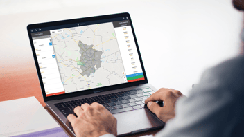
- Google Maps is freely available and allows for quick identification of actual travel times between destinations. Think about where your customers are likely to come from and identify how long it will take them to reach you or vice-versa.
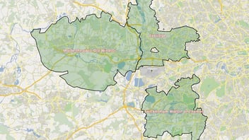
- Major roads and motorways are big indicators showing the connections between towns and places. Try identifying these when “eyeballing” an area and it will give you a good idea of how the local population travels.
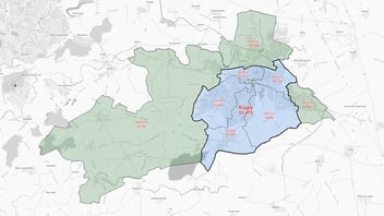
- As much as major roads identify travel routes when they get too big, they can also be a great indicator or where one locality ends, and another begins. If a road is too large and cumbersome to cross easily then usually it will limit a locality’s growth, think of a typical ring road as an example.
- Think about the limits of your business model. How far is too far? There is no point awarding a territory that is just too large to cover. Even if a territory has the right level of potential customers, it might not necessarily be serviceable, and that means that profitability of servicing that area can plummet.
If you can bring in the above points into your thought process when creating territories, then the finished network will be much more efficient and far less painful for those on the ground covering the area!
It must all be taken in context with your business. The starting question for you is how do you interact with your customers?