August 24, 2026
Opening a new shop. Setting up a franchise territory. Sending out a local leaflet drop. Nine times out of ten, it all starts with the same question: where do your customers actually live or work, and how far will they bother travelling to reach you?
Opening a new shop. Setting up a franchise territory. Sending out a local leaflet drop. Nine times out of ten, it all starts with the same question: where do your customers actually live or work, and how far will they bother travelling to reach you?
For years, choosing a store location, or carving up a sales territory, came down to a lot of guesswork. Someone eyeballed a busy corner, or drew a five-mile circle on a paper map, and hoped it would work out. Fine if nothing's really at stake. Less fine when you're signing a lease that ties you in for five years.
This is where the idea of a catchment area earns its keep. Gain an understanding of your customers and you can pick better sites, spend marketing money where it'll actually land, and stop opening a second branch that quietly cannibalises the first.
What Is a Catchment Area, and Why Should You Care?
Strip away the jargon and a catchment area is just the geographic zone a business pulls its customers from. It's the invisible line around a site that contains the people who could realistically walk in, drive up, or place an order.
For a coffee shop by a train station, that might be a five-minute walk tops, but also all of the people travelling into the station. For a retail warehouse out on the ring road, or a car dealership, you could be looking at a 30-minute drive down the motorway before the zone runs dry.
Once you know your catchment, you know your real trade potential: who lives there, what they earn, how many competitors are already fighting over the same customers, whether there's enough spending power to actually keep the lights on.
A few reasons this matters in practice. It helps with site selection, since you can compare shortlisted units on real target-population numbers rather than "the town looked busy on a Saturday." It matters for franchise territory design too, because fair boundaries mean every franchisee gets a genuine shot at hitting their targets, not just whoever got the better patch. It saves money on marketing, since there's no point posting leaflets through doors in postcodes nobody will ever travel from. And it protects you from cannibalisation: before you open branch two, it's worth checking it isn't just going to eat into branch one's takings.
Four Ways People Actually Map Their Market Reach
Not every business draws its boundary the same way. Honestly, the right method depends heavily on what you sell and how people get to you.
Drive time and walk time zones, sometimes called isochrones in mapping software, tend to be the most accurate option for anything with a physical address. Rather than measuring as the crow flies, they map how long it actually takes someone to reach you along real roads or footpaths. A five-mile straight line looks tidy on a map, but if there's a river, a railway cutting, or the kind of traffic that makes locals groan every evening, someone three miles away might genuinely take 20 minutes to get to you.
Radius or distance buffers are the classic approach: draw a circle, two miles or five kilometres, done. It's quick and it's easy, and it's also often wrong, because it assumes people move at the same speed in every direction. They don't, not once you factor in actual roads.
Plenty of UK businesses build territories around administrative boundaries and postcode sectors instead, whether that's postcode districts or local authority lines. It works reasonably well for field sales teams and home-service franchises, mostly because postcodes are simple enough to assign and manage.
And if you're already trading, there's a fourth option: actual customer mapping. You don't need to guess at all. Plot your real customer postcodes and see where your trade genuinely comes from. It's about as close to ground truth as you'll get.
Working Out Your Catchment Area in Four Steps
You don't need a geography degree for this. Start by defining your target customer. Before you draw anything, know who you're actually trying to reach, whether that's young families, high earners, retirees, or someone else entirely.
Then pick a realistic travel threshold. Five minutes on foot for a morning coffee. Fifteen minutes by car for the weekly shop. Maybe 45 minutes for something specialist, furniture or private healthcare, where people are willing to go further out of their way.
Once that boundary's set, layer in demographics: population, household income, how many other businesses are competing for the same wallets.
Last, check who else is already there. Map the competition inside and around your zone, because three rival shops sitting inside your primary trade area means your actual slice of that market shrinks fast.
It's worth remembering that a site with 50,000 people nearby and four aggressive competitors can easily perform worse than a quieter site with 25,000 people and no competition at all.
Mistakes Worth Avoiding
Mapping trade zones sounds straightforward, but there are a few traps that catch people out again and again, and it's a pattern that plays out more often than you'd expect.
The first is trusting the "as the crow flies" circle. A neat two-mile radius looks great in a slide deck. It looks a lot less great once you realise half of it sits over an estuary, or an industrial estate with zero housing in it.
The second is ignoring physical barriers. Motorways, rivers, railway lines, steep hills: these things genuinely reroute how people move. Most customers stick to their own side of a major obstacle unless what you're selling is something they simply can't get anywhere else.
The third, and probably the most overlooked, is treating the whole zone as equal. Someone two minutes from your door will visit far more often than someone right on the edge of a 15-minute boundary. If you're forecasting revenue, that drop-off matters.
How Atlas Mapping Fits In
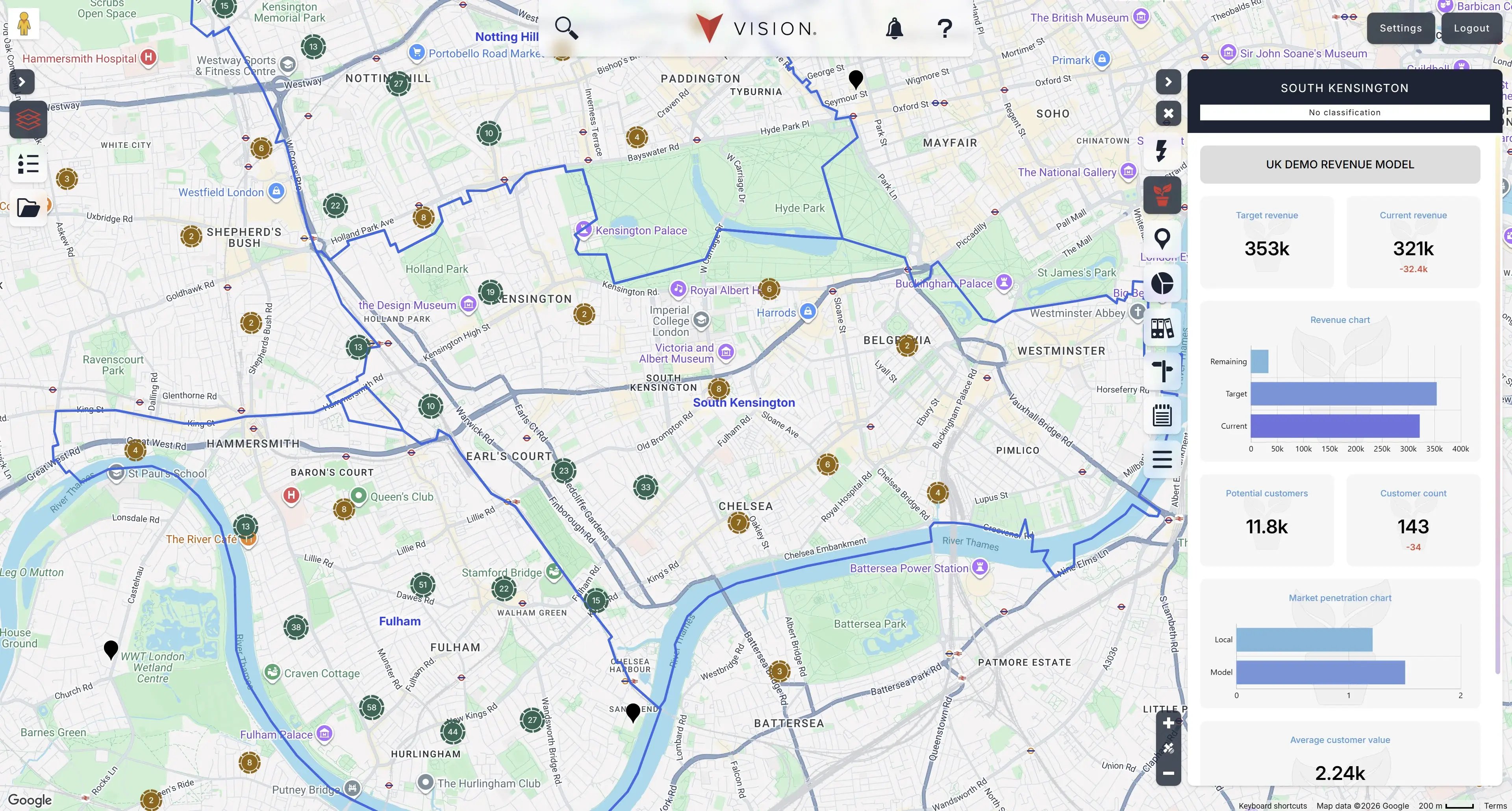
Stitching together Postal code lists, census data, traffic figures, and sales numbers by hand in a spreadsheet is slow, and it's easy to get wrong.
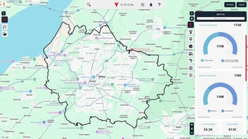
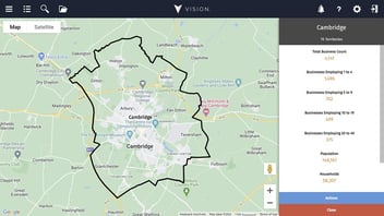
At Atlas Mapping, we work with franchises, retail brands, healthcare providers, and field sales teams across the UK who'd rather use solid geographic evidence than gut feeling. Our software, Vision, was built for business owners who need proper location intelligence without having to learn traditional GIS tools.
With Vision, you can:
- Draw accurate drive-time and walk-time zones in seconds
- Layer in demographic and household data
- Plot your existing customers to see where trade really comes from
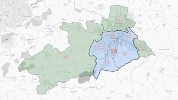
- Design franchise territories that don't overlap or shortchange anyone
- Spot gaps in the market for your next site
Whether you're opening your second unit or running a network of 200, having the right data behind you makes signing a lease, or standing in front of the board, a much easier conversation.
Final Thoughts
Knowing where your customers actually come from is one of the most useful things you can do for the bottom line. It saves you wasting money on the wrong marketing, helps you pick better sites, and gives your sales team clear ground to work.
So skip the gut feeling and the neat little radius circle. Look at real travel times, real demographics, and the actual road network instead, and expansion stops being a guessing game. You can get started today with a free Vision account to find how our tool can simplify your catchment area analysis and find the best location for your business. If you’d like to find out more or want some guidance on how to set up your catchment areas contact our team today by calling us on +44 (0)1733 314245 or by filling in our online contact form.


.svg)