May 18, 2016
Retail places in the UK
- 18 May 2016
- Article
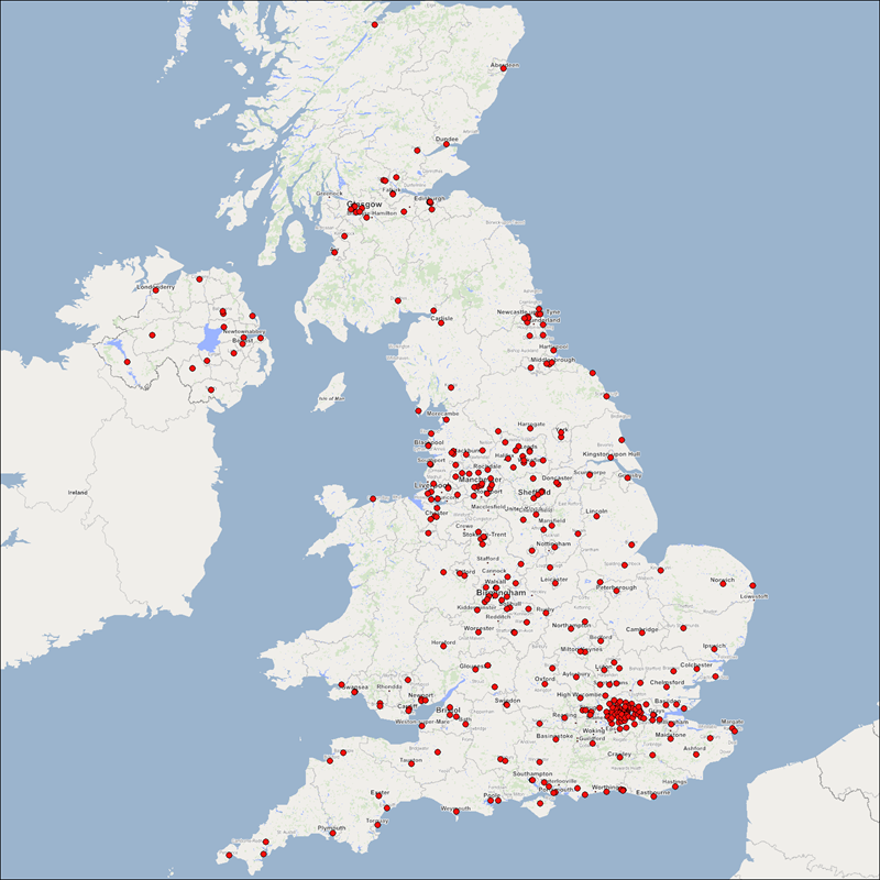
In this month’s blog, we’ve taken a look at the Retail Places dataset which contains around 350 centres that have been scored, profiled and have named polygons showing where they’re located in the country.
The image below show’s where all of the retail places are situated throughout the UK, as you would expect to see, the points fall within large towns and cities.
London
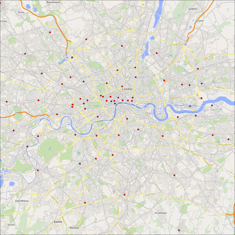
Now we’ve taken a more zoomed in look at London. London contains a vast number of retail places spread across the city, with a large concentration in the city centre.
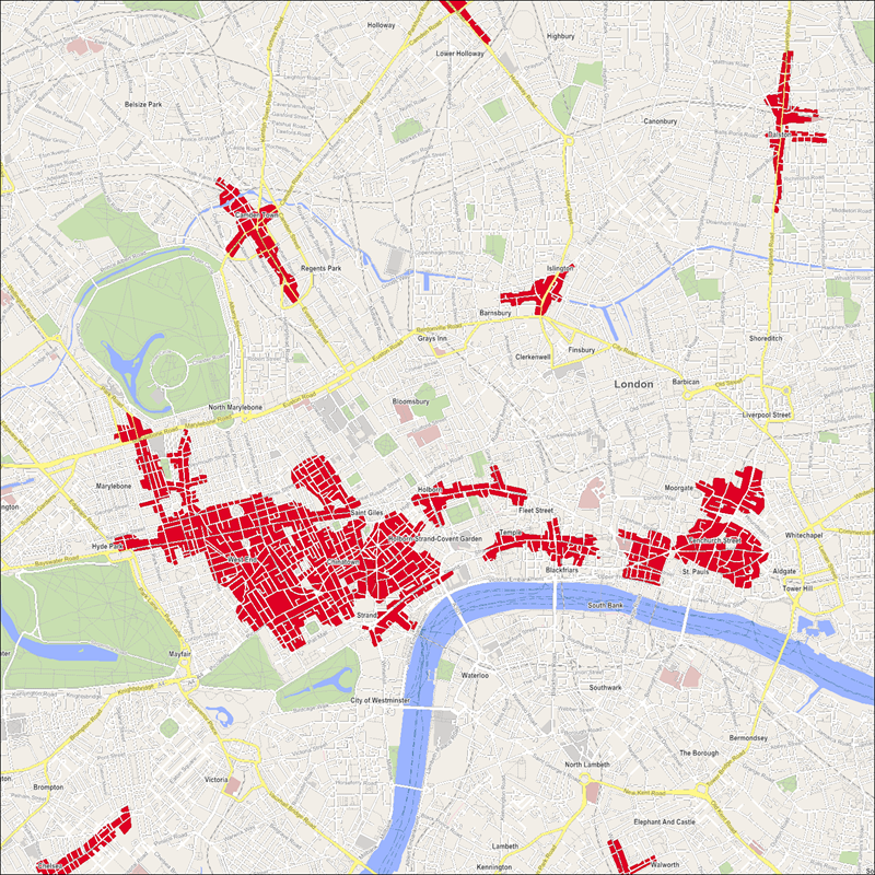
This image show's the centre of London, showing the building layout and the different high streets.
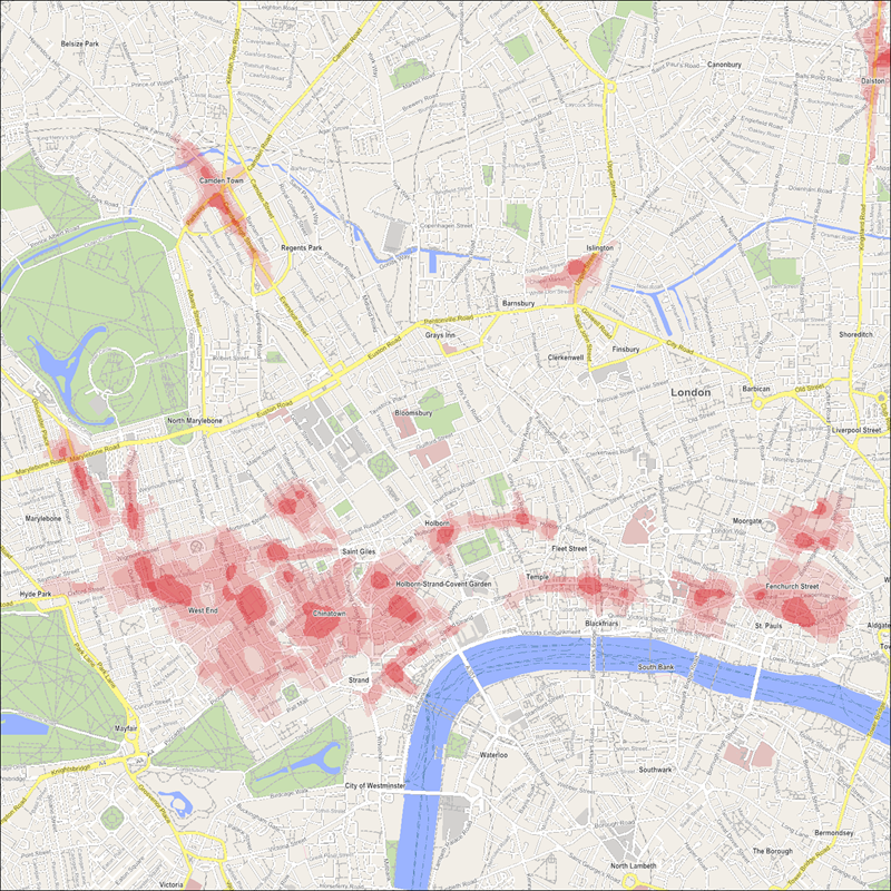
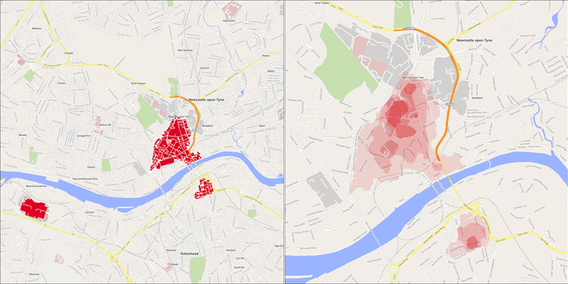
The above image shows a heat shading applied based upon the pitch score. GeoLytix explains this as “Pitch scores is a 10-metre grid structure displaying the varying retail opportunities within retail places through the visualisation of hot spots and gaps within the top 2,413 retail places”. The data that we are looking at is an open source version of the dataset based on the top 350 towns and cities from 2012.
We've included a couple more examples below.
Birmingham
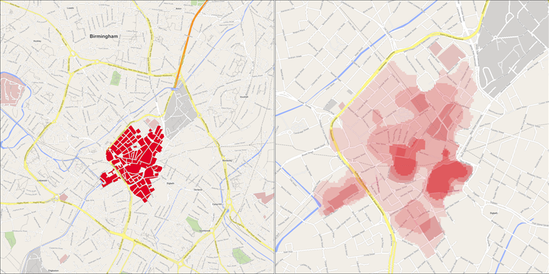
Newcastle
Attribution Statements
Retail Places © GeoLytix copyright and database right 2012
Contains Ordnance Survey data © Crown copyright and database right 2012
Contains Royal Mail data © Royal Mail copyright and database right 2012
Contains National Statistics data © Crown copyright and database right 2012
For more information on the data, please see here.


