August 7, 2014
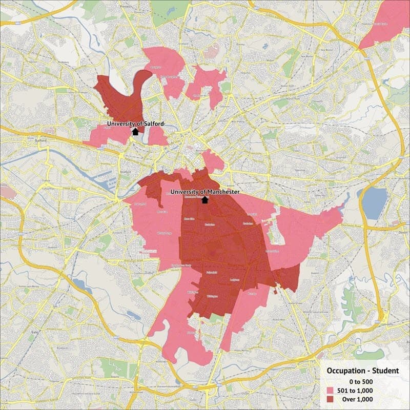
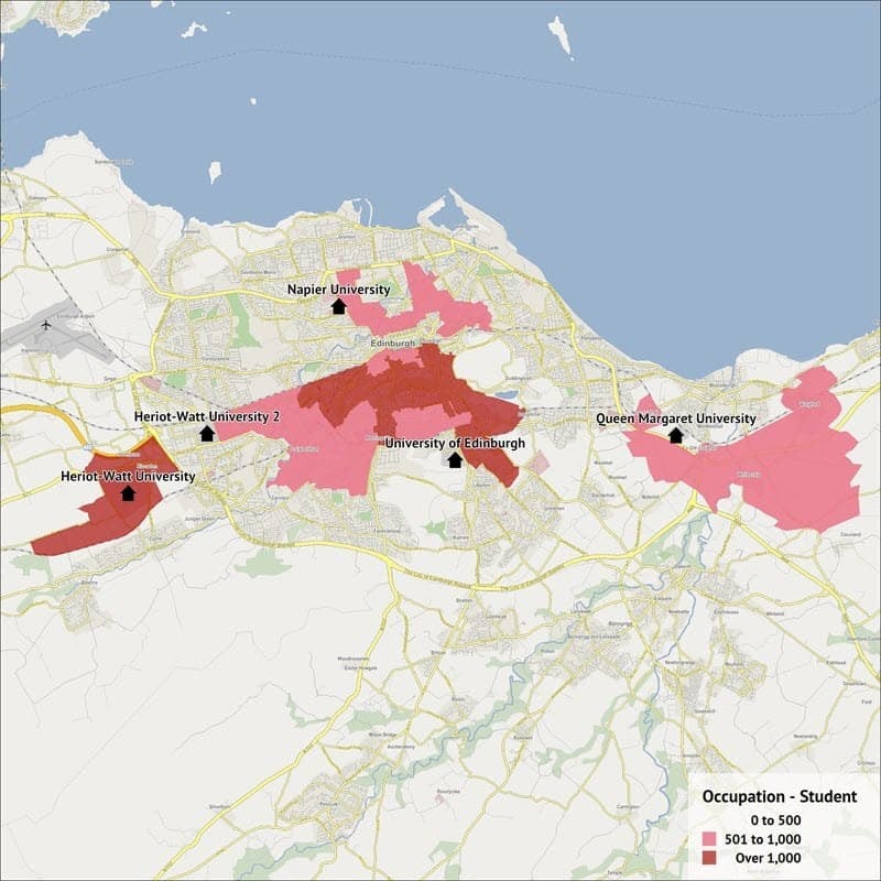
Universities and Students
Related Blogs

Where's your nearest hospital?
In this blog, we take a look at where hospitals are situated, the difference between the spread of hospitals in a small city as compared with the level of coverage that can be found in London.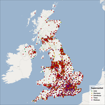
Supermarket locations (part 1)
In this blog, we take our first look at the locations of supermarkets in the UK. We've created a few images to help visualise the spread and any patterns that we initially spotted.