September 9, 2014
There is currently no standardised approach to defining a franchise territory and the business format has a large impact on the methods used to define a territory. Atlas Mapping has created a list of the types of territory definition we have seen used and explain the pros and cons of each.
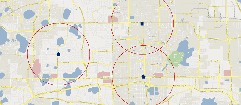
The radius
A technique often used by site based franchises that commit to an area where another franchise will not be sold. The franchise radius is defined as a distance away from the physical location being established.
Pros -
- Easy to set by a franchisor.
- Simple to understand in franchise agreements.
Cons -
- Customers do not travel radially to a site and therefore a radius does not represent a realistic catchment area. Many factors such as natural boundaries, major roads, railways and relationships between local areas will influence a customer’s decision to travel to reach a service or product.
- Gaps are left in between areas as circles do not fit together which results in areas that cannot be sold.
- Radii often overlap if appropriate mapping technology has not been used to keep track of the network.
Instructional
Some franchises will provide written instructions to define where a territory’s borders lie, often this can reference streets or other geographic features. For example:
“Northern border: North Road down between Church Street and Margaret Street. Eastern Border: Margaret Street down passed London Road. Southern Border: London road across to Swift River crossing. Western border: Swift River up to Church Street Swift River crossing.”
Pros -
- Allows for very precise boundary creation.
- Franchisees can more easily reference local geographic references.
Cons -
- Heavily bureaucratic and difficult to manage as the franchise develops.
- No way of accurately defining what commercial opportunity exists within the area (e.g. population size).
- Can become difficult to denote boundaries when franchises sit side by side e.g. who owns what side of the street?
- Hard for head office to visualise across departments what the network looks like.
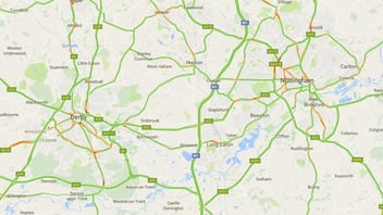
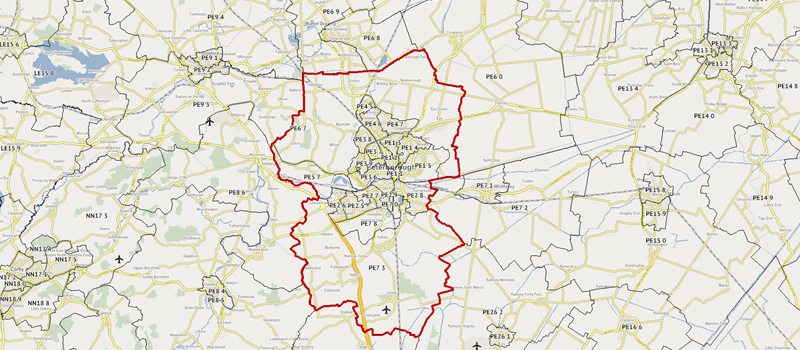
Postcode/Zip Code
A list of Postal or Zip Codes are stated in the franchise agreement, sometimes this allocation is accompanied by a map. These areas can often denote a ‘protected’ territory where no other franchisee is allowed to actively market or set up a competitive franchise.
Pros -
- Easy to determine the bounds of a territory by looking up customer or potential site address and referencing against the allocation.
- A common level of geography with access to lots of demographics to measure market opportunity.
- Easier territory boundary editing and creation.
Cons -
- In some areas, boundaries can extend further than required.
- New codes added and some old are sometimes removed which requires an annual review to ensure franchise agreements are up-to-date.
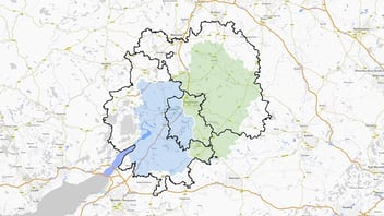
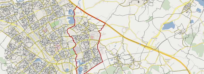
Low level census output areas
Demographic data for some developed countries such as the UK, USA and Canada is released at a very low level of geography. This level can be used to define a territory and the mapped boundary becomes the territory defined in an agreement.
Pros -
- Allows for very flexible territory definition.
- Access to a wide range of demographics to accurately determine market opportunity.
Cons -
- To be effectively and efficiently managed, a mapping system is required.
- The geography and codes associated are not widely known to the public and are therefore difficult to use as a reference.
Each of the above approaches has various benefits and weaknesses. The decision on what to use for strong franchise agreements whilst maintaining maximum market potential can have long-standing impacts on the development of a franchise. Our recommendation is to think about the long-term management issues likely to arise when the franchise reaches the size you are aiming for.