February 14, 2017
Good territory design does not simply focus on getting enough potential customers, but also how your customers will reach you or how you will get to them.
As we discussed in this blog, it is highly likely that you or your customers will be using the road network to provide your product/service. This is going to impact how people travel around the territory you are creating. However, some of the biggest hindrances to mobility are also some of the easiest to spot, and these are the natural boundaries that exist in an area.
What are natural boundaries?
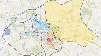
One of the most obvious and easiest-to-spot natural boundaries in an area is a river. Usually, most major rivers have limited crossings and will, therefore, hinder mobility in the area. Very often, bridges can act as traffic bottlenecks, and as a result, localities tend to build up on either side of them. This is not always the case, but a river with a lack of bridge should be a big warning signal not to create a territory covering both sides of the river.
Other (and more numerous) natural boundaries are large, open, green spaces such as parks and fields. Often these big green spaces will sit either in between localities or right in the middle of one. Identifying what the case is in your particular territory will provide you with more insight into the likely travel behaviour of the local population.
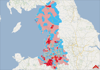
Alongside the above points, some more obvious natural boundaries are forests, hills/mountains and large rural expanses. These larger geographic features are useful for quickly identifying where travel between towns could be more difficult or restricted.
A final note
When considering the above, think about your local area. What natural boundaries and places exist that perhaps you don’t think about and how have they affected how you travel where you live?