

February 29, 2024
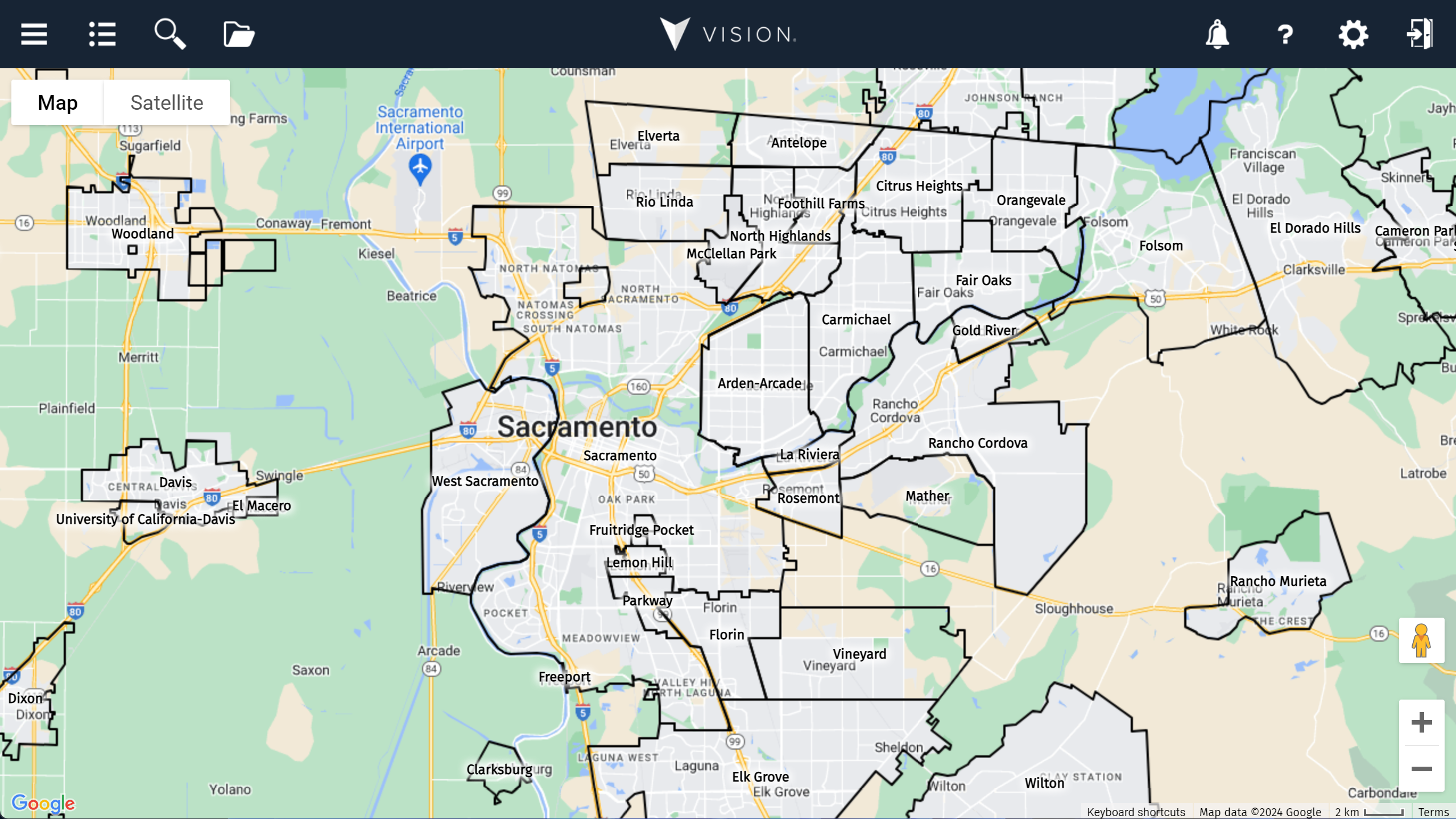
We've added a new base layer containing a geographical boundary for the towns and cities in the US. The layer doesn't include demographics, it's there to provide a visual reference of US towns and cities.
 They can be a bit strange!
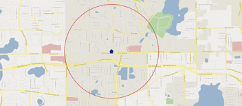
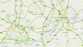
As you’ll quickly notice, they often look quite messy and strange, but they are the official boundaries and match what’s used on Google Maps to denote town and city boundaries. You can see what we mean in the images below!
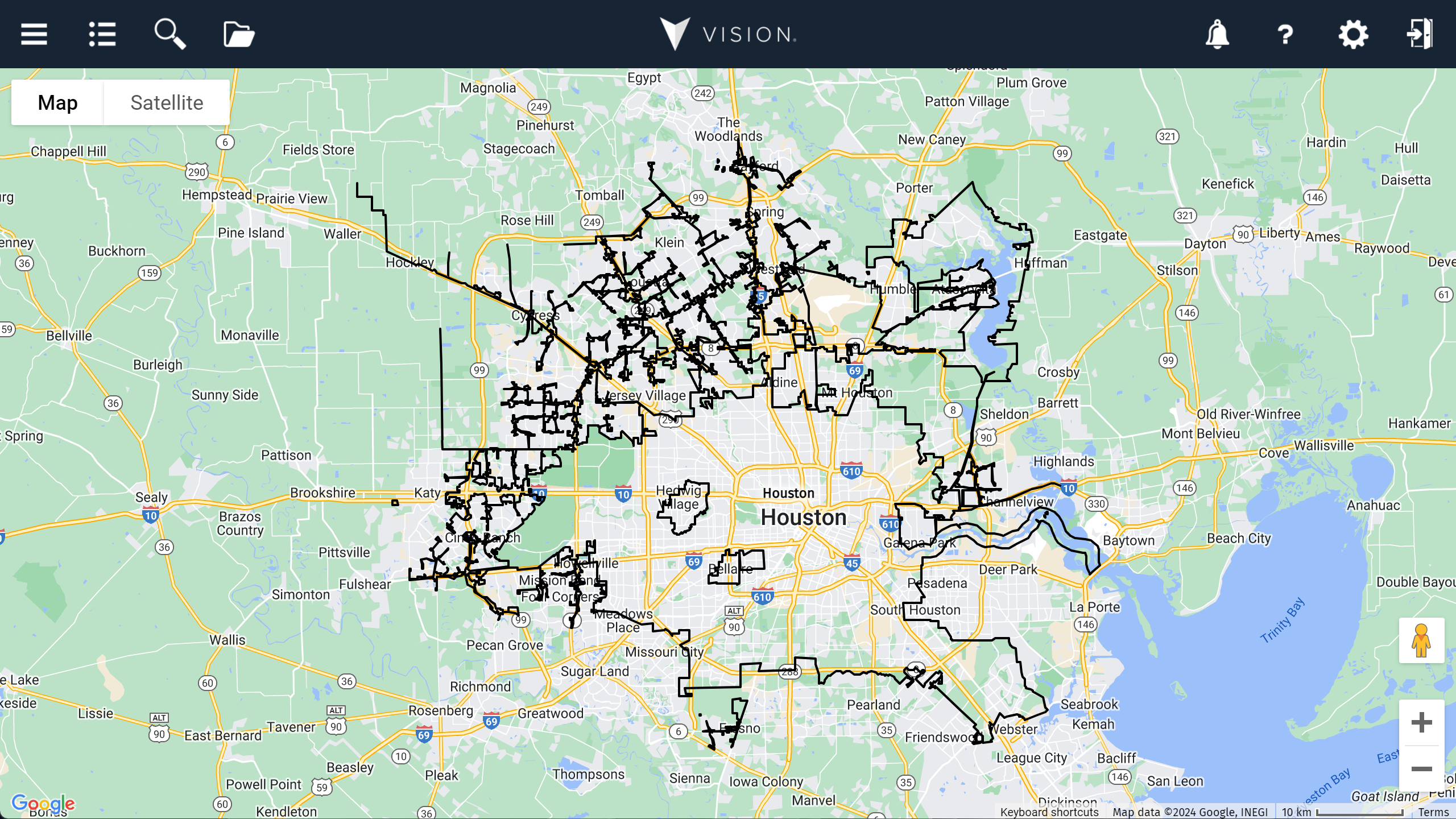
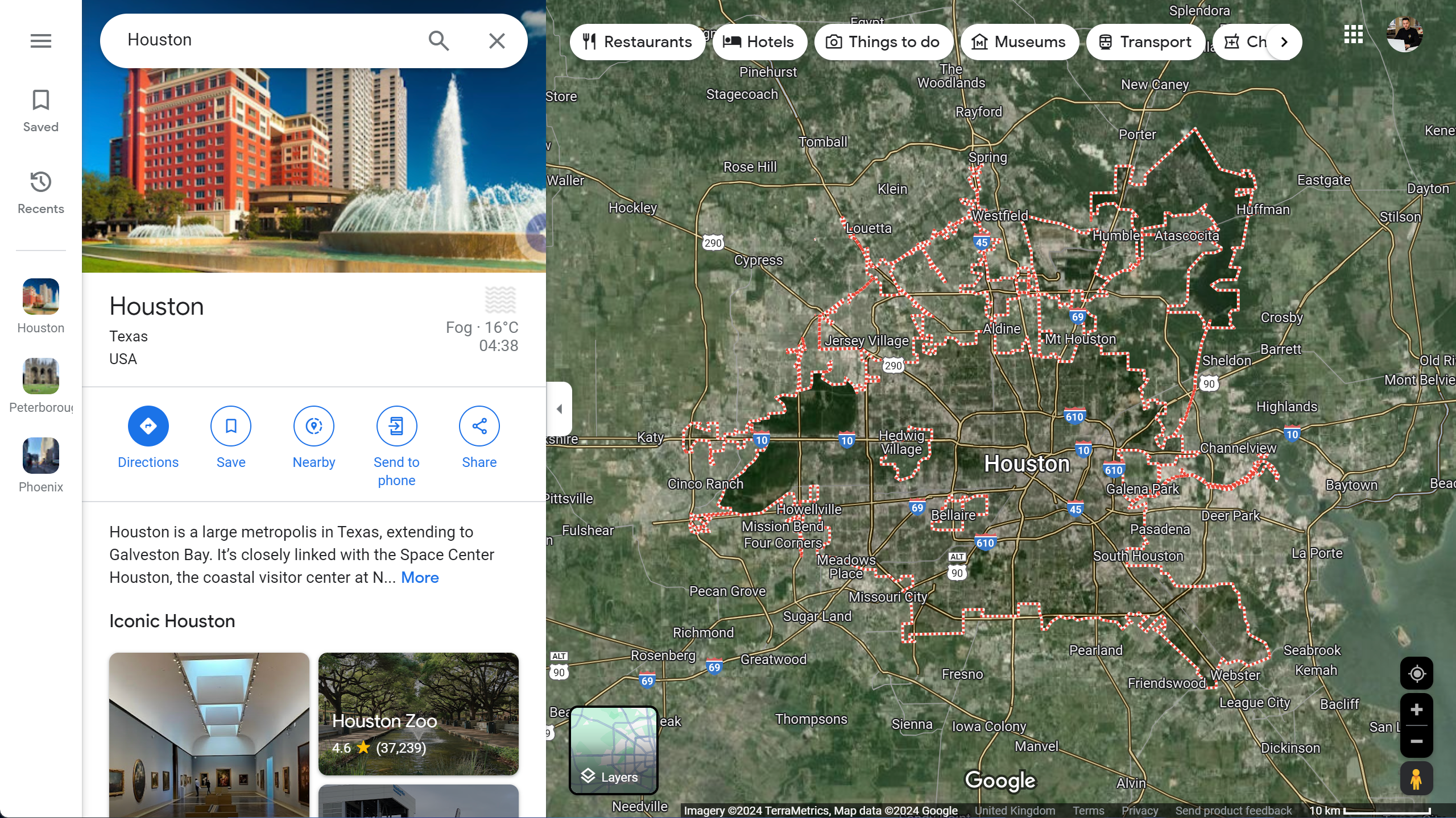 It was a requested layer
A few of our US clients asked for it, so we went looking, found and processed the boundaries to make them accessible and easily viewable in Vision.
If you have any ideas for layers or information that you would find helpful, you might not be alone, so please feel free to let us know, and we can review whether it’s available and/or valuable to add to Vision.
Please get in touch with us with any ideas or if you'd like access to the US Towns and Cities layer.